04/01/1960 • 7 views
First Weather Satellite Begins Sending Images to Earth
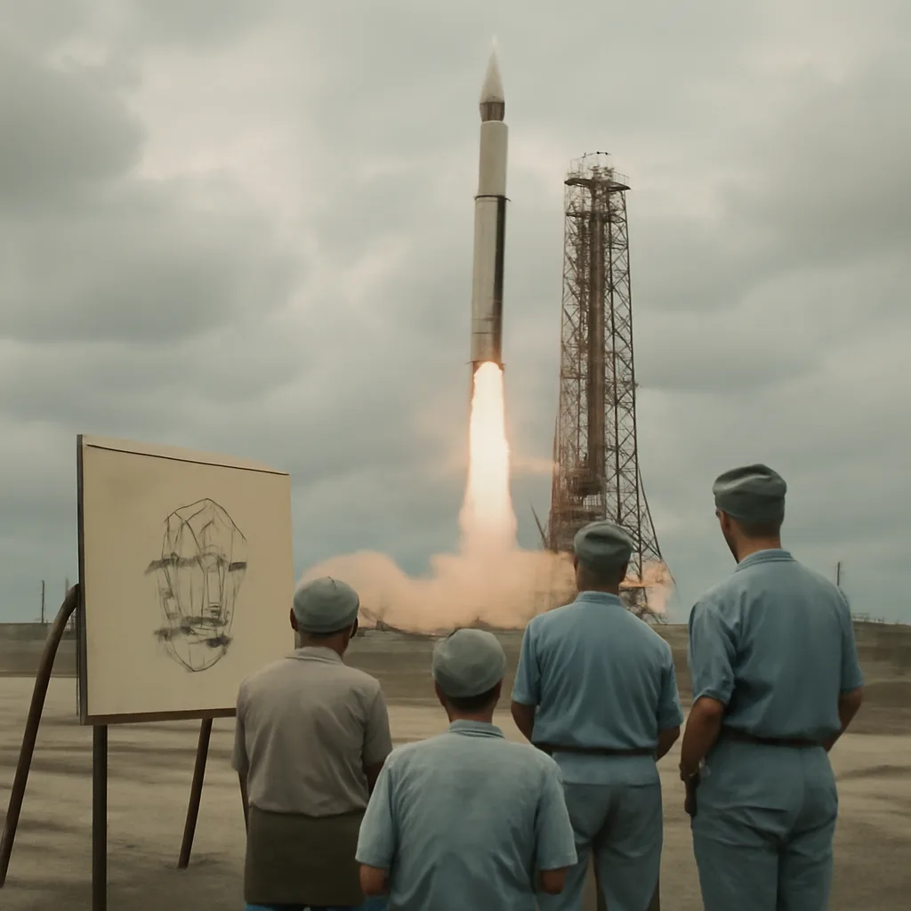
On April 1, 1960, the United States launched TIROS-1, the first satellite to send usable television images of Earth's weather from orbit, beginning a new era in meteorology and global observation.
TIROS-1 was a small, drum-shaped spacecraft about 1.07 meters in diameter and weighing roughly 122 kilograms. It carried two television cameras—one wide-angle and one medium-angle—designed to take and transmit still images of Earth's cloud cover. After launch atop a Thor-Delta rocket from Cape Canaveral, TIROS-1 entered a low, near-polar orbit that allowed it to observe much of the globe over successive orbits.
In its first days of operation, TIROS-1 returned hundreds of television images showing extensive cloud formations, storm systems, and clear-sky areas. These images were received by ground stations, converted from television signals into photographic film, and analyzed by meteorologists. The data confirmed that satellites could repeatedly observe weather systems over broad regions, offering perspectives unobtainable from ground-based stations and aircraft.
The practical impacts were immediate and significant. TIROS-1 images helped forecasters track the development and movement of large-scale systems, improving situational awareness and demonstrating the potential for satellite data to augment existing meteorological networks. Although TIROS-1 had a limited operational lifetime—its cameras and systems functioned for just over a month—the mission validated the satellite-observation concept and led to a sustained program of weather satellites. Subsequent TIROS and related programs refined instruments, added infrared sensors for night observation, and expanded frequency and reliability of coverage.
Historically, TIROS-1 sits at the intersection of Cold War-era technological competition and peacetime scientific cooperation. The project drew on military, civilian, and academic expertise and helped justify government investment in spaceborne Earth observation. Over the following decades, space-based meteorology evolved into an essential component of weather forecasting, climate monitoring, and disaster response, with modern geostationary and polar-orbiting satellites providing continuous multispectral data.
TIROS-1’s legacy is not limited to technical achievement. By providing the first routine images of Earth’s weather from space, it changed how people visualize the planet and its atmosphere. The mission demonstrated that satellites could offer objective, regular, and global-scale observations—capabilities that underpin contemporary practices in meteorology, environmental science, and emergency management.
Sources for TIROS-1’s development, launch, and immediate results include NASA historical archives and contemporary reports from the U.S. Weather Bureau and participating laboratories. Where details vary among accounts—such as specific timelines for the gradual degradation of onboard systems—the central facts of the launch date, spacecraft purpose, and its confirmation that orbital imaging could serve weather forecasting are well established.