← Back
02/01/1960 • 4 views

NASA launches first successful weather satellite, TIROS-1

TIROS-1 satellite model against a black space background with part of Earth and cloud cover visible below.

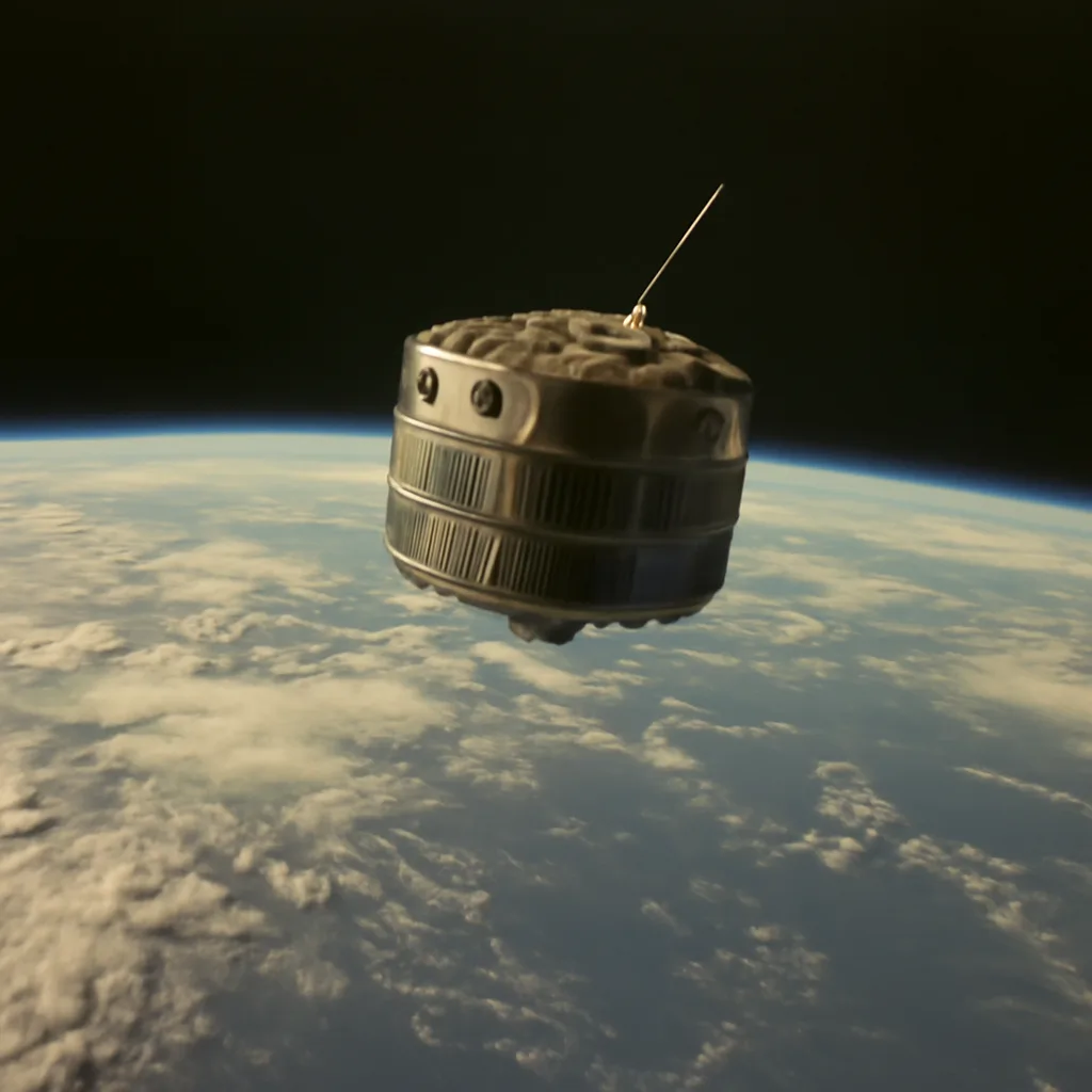
On February 1, 1960, the Television Infrared Observation Satellite (TIROS-1) was launched, becoming the first successful satellite to provide cloud-cover images from space and ushering in modern satellite meteorology.


On 1 February 1960, the United States launched TIROS-1 (Television Infrared Observation Satellite), the first successful weather satellite to return usable cloud-cover images from orbit. Developed by the National Aeronautics and Space Administration (NASA) in cooperation with the U.S. Weather Bureau and various contractors, TIROS-1 marked a decisive technological advance in the observation of Earth's atmosphere and weather systems.

Design and mission
TIROS-1 was a small, spin-stabilized satellite roughly 42 inches (107 cm) in diameter, equipped with two television cameras and radiometers to observe cloud patterns and measure incoming solar radiation. The satellite was placed into a low Earth orbit by a Thor-Delta launch vehicle from Cape Canaveral, Florida. Its instrumentation and orbital configuration were specifically designed to test whether a space-based platform could provide reliable and continuous imagery of cloud cover—data that could improve weather analysis and forecasting.

Operational achievements
Within hours of achieving orbit, TIROS-1 returned the first-ever television images of large-scale cloud patterns from space. Over the course of its 78-day operational life, the satellite transmitted thousands of images that showed the distribution and motion of clouds across wide regions of the Earth. These observations demonstrated that satellites could monitor synoptic-scale weather systems, track storm development and movement, and supplement ground-based and airborne meteorological observations.

Scientific and practical impact
TIROS-1’s success validated the concept of spaceborne meteorological observation and spurred rapid development of follow-on satellites and programs. The imagery provided new perspectives on frontal systems, cyclones, and tropical disturbances, improving situational awareness for weather services. The data and operational lessons from TIROS-1 led directly to subsequent TIROS missions and the eventual establishment of regular, systematic weather-satellite operations that underpin modern forecasting, climate monitoring, and emergency management.

Context and legacy
TIROS-1 came early in the Space Age, following the launch of Sputnik in 1957 and Explorer satellites in the late 1950s. Its success represented a shift from experimental demonstrations to operational utility in space science and applications. While TIROS-1 itself operated for only a few months, its legacy endures: satellite meteorology became a foundational element of national and international weather services, contributing to improved forecasts, earlier warnings for severe weather, and enhanced understanding of atmospheric processes.

Limitations and subsequent development
TIROS-1 had limited lifetime and coverage compared with later systems: its cameras provided visible-light imagery only when the satellite was illuminated by the Sun, and its low orbit offered snapshots rather than continuous global coverage. Subsequent programs addressed these limitations through improved sensors (including infrared instruments), geostationary and polar-orbiting constellations, and more robust operational support. Nonetheless, TIROS-1 is widely cited as the starting point for operational weather satellites and remains an important milestone in the history of meteorology and Earth observation.

Sources and verification
The factual details above—launch date, mission name, instrumentation basics, operational duration, and legacy—are documented in historical records from NASA and contemporaneous accounts of early weather-satellite programs. Where precise technical or programmatic minutiae are required, consulting NASA’s archival mission summaries and peer-reviewed histories of satellite meteorology will provide primary-source confirmation.

Share this

Email Share on X Facebook Reddit

Did this surprise you?