Pentagon Publishes Maps of Cold War Bunker Network
On January 24, 2000, the Pentagon released declassified maps detailing the United States' Cold War-era bunker and continuity-of-government sites, revealing locations, functions, and the scale of preparations once kept secret.
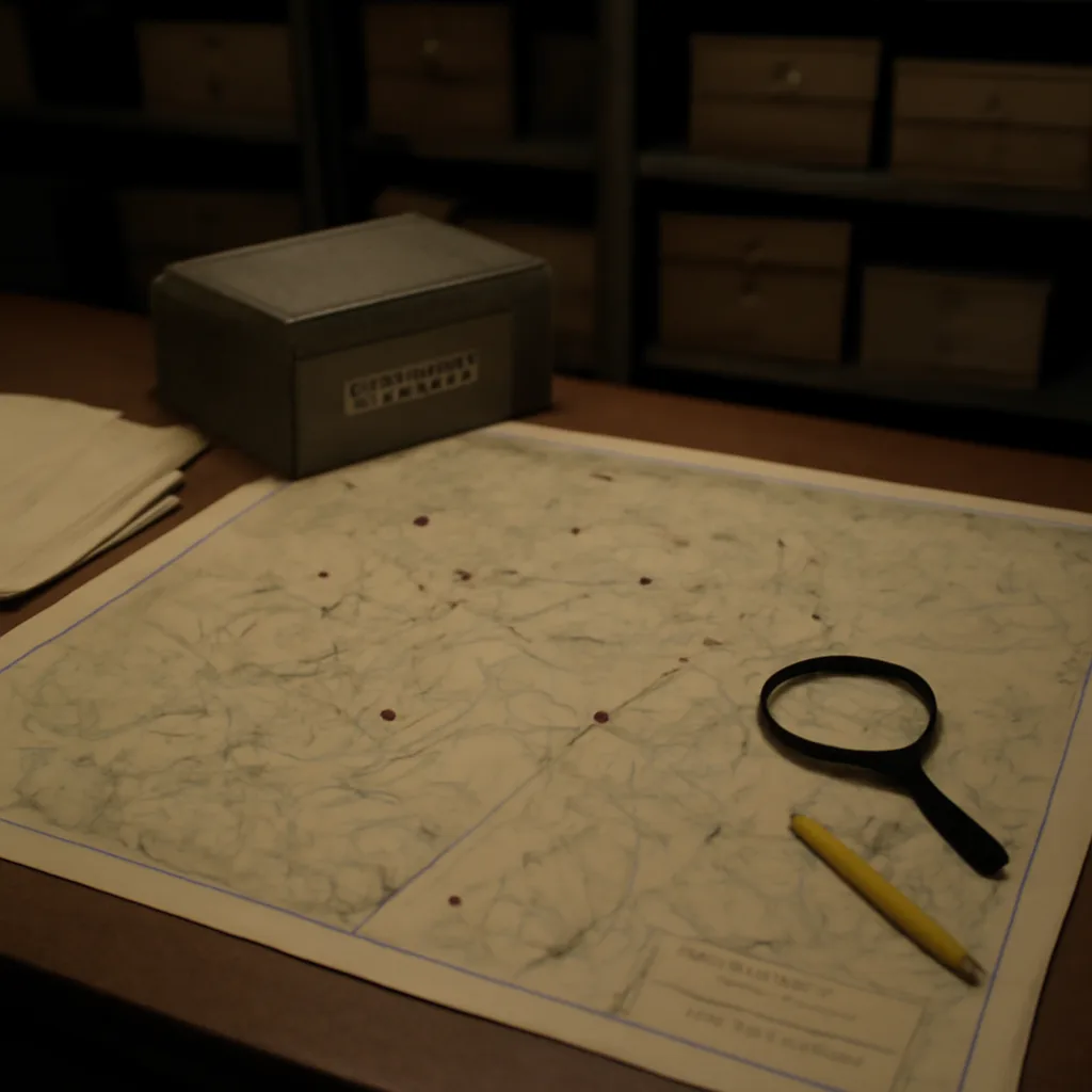
On January 24, 2000, the Department of Defense made public a set of declassified maps and supporting documents that identified numerous Cold War-era bunkers and continuity-of-government facilities across the United States. The release, prompted by decades of changing security priorities and public requests for transparency, provided researchers and the public with insight into the infrastructure and geographic distribution of sites designed to protect government leadership, military command-and-control, and continuity functions in the event of nuclear war or other national emergencies.
The newly released materials included facility locations, schematic outlines, and brief functional descriptions. They covered a range of installations: large hardened complexes located in remote areas, adapted federal buildings with protected spaces, and facilities integrated with military bases or civilian infrastructure. Some sites had been widely known or suspected by historians and locals for years; others were confirmed publicly for the first time. The documents shed light on the layered approach taken during the Cold War—combining dispersal, redundancy, and hardening—to ensure survivable command structures.
Analysts noted that many of the bunkers dated from the 1950s through the 1970s, reflecting technological and strategic shifts across eras of the Cold War. Early facilities emphasized deep underground protection and distance from likely targets, while later efforts sometimes focused on mobility, communications survivability, and integration with nuclear detection and early warning systems. The released maps also highlighted logistical considerations: access roads, power and communications links, and proximity to military airfields or federal offices.
Declassification did not render every detail public. Sensitive specifics—such as precise engineering schematics, current operational procedures, and details that could jeopardize ongoing security—were withheld or redacted. The Pentagon maintained that while historical transparency was valuable, protecting certain technical and operational information remained necessary for contemporary security.
Historians and Cold War scholars welcomed the release as a resource for research into civil defense, military planning, and federal continuity programs. The maps allowed comparative study of regional patterns, local adaptations, and the interplay between federal and state-level preparedness efforts. They also provided material for evaluating the social and political context of Cold War civil defense: the tension between secrecy and democratic oversight, the allocation of resources, and how communities perceived nearby facilities.
Public reaction varied. Some community members expressed curiosity or relief at official acknowledgment of facilities they had long suspected. In other localities, disclosure prompted renewed debate over land use, environmental impacts of aging installations, and the legacy of Cold War infrastructure on present-day planning. For policy scholars, the release prompted reflection on how governments balance transparency, historical reckoning, and contemporary security needs.
The January 2000 release fit a broader pattern of late-20th-century declassifications that sought to reconcile public interest with national security concerns as the strategic environment evolved after the Cold War. While the maps illuminated past preparations for extreme contingencies, they also served as a reminder of how government planning and secrecy adapt over time. Researchers continue to mine the documents for evidence about Cold War decision-making, infrastructural priorities, and the interplay of technology, geography, and policy in an era defined by the prospect of nuclear conflict.